Regional Maps
The Central Texas Council of Governments uses GIS to support emergency response, economic development, and project planning throughout the seven county region. The GIS program is also tasked with development of solutions for member entities involving GIS and various forms of technology.
Interactive Online Maps
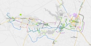
KTMPO Annual Projects Map
![]()
JLUS Private Web Map
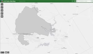
JLUS Public Map
Our maps and GIS datasets are provided by CTCOG for informational purposes only and no guarantee of accuracy or completeness is intended or implied. The data is provided “as is”, and may be subject to updates and/or refinement. The data may not be suitable for legal, surveying, or engineering purposes.