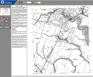
FEMA has produced an online Flood Mapping application for public use. Go to https://msc.fema.gov/portal and begin searching for your location by typing an address into the search bar. This brings up a map of the location.
The buttons on the left hand side of the page let you choose different flood maps. The “View Map” botton shows you the traditional black-and-white FIRM panels (Flood Insurance Rate Map).
The “View Interactive Map” button takes you to an ArcGIS Online map centered on the address you provided, and shows the same information as the FIRM in a full-color, interactive web map.
For Frequently-Asked Questions and links to other flood resources, visit the resources page on the FEMA website.


